

SRS Environmental Report 2012
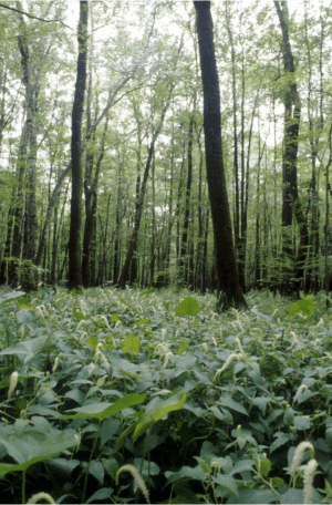
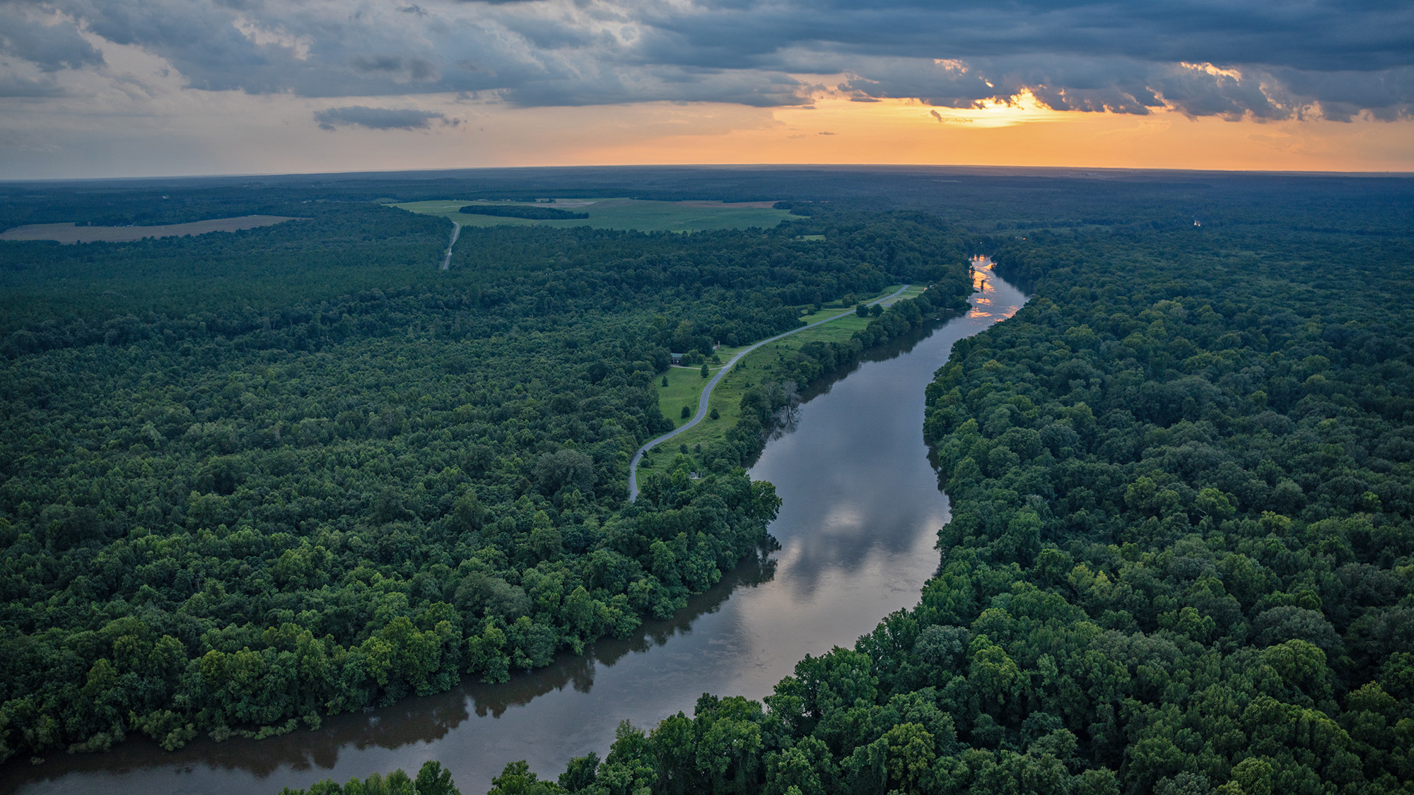
David Scott of the Savannah River Ecology Laboratory (SREL) provided this year's cover photo. The photo was taken in the Mixed Swamp Forest Set-Aside, which is part of the Savannah River swamp. This Set-Aside is one of the original ten SREL habitat reserve areas selected in 1968 to represent a diversity of bottomland hardwood/floodplain forest communities of a southern river swamp system. Represented are aquatic, semi-aquatic, and terrestrial habitats associated with cypress-tupelo ponds, mixed hardwood sloughs, and mixed hardwood ridges. This Set-Aside is important because seasonally flooded hardwood forests are becoming increasingly rare habitats that are particularly vulnerable to habitat destruction and/or alteration due to drainage, water control projects, industrial or urban waste discharge, or power plant cooling effluents. The flower in the foreground is called Lizard's Tail (Latin name Saururus cernuus). It grows in a variety of aquatic habitats, but on SRS it can be particularly abundant in some of the swamp forests.
Sidebar Data
- Environmental Report Summary (PDF)
- EMS Description Manual (PDF)
- Environmental Dose Assessment Manual (PDF)
- Environmental Policy (PDF)
- SRAP (PDF)
- SREL (PDF)
- Savannah River Remediation (PDF)
- USFS-SR (PDF)
Environmental Data Tables and Maps
- SRS Maps (PDF)
Effluent Monitoring
- Radioactivity in Air Effluent Samples (XLSX)
- Radioactivity in Liquid Effluent Samples (XLS)
- Radioactive Atmospheric Releases by Source (Curies) (XLSX)
- Radioactive Liquid Releases by Source (Curies) (XLS)
- Radioactive Atmospheric Releases by Stack-Facility and Comparison of Annual Average Concentrations to DOE Derived Concentration Guides (XLS)
- Radioactive Liquid Releases by Outfall-Facility and Comparison of Annual Average Concentrations to DOE Derived Concentration Guides (XLS)
- Toxic Air Pollutant Emissions (2006-2012) (XLS)
- National Pollutant Discharge Elimination System Industrial Wastewater Monitoring Data (XLS)
- National Pollutant Discharge Elimination System Stormwater Monitoring Data (XLS)
Environmental Surveillance
- Radioactivity in Environmental Air Filters (XLSX)
- Radioactivity In Charcoal Filters (XLSX)
- Tritium in Air (XLSX)
- Radioactivity in Rain Ion Columns (XLSX)
- Radioactivity in Rainwater (XLSX)
- Thermoluminescent Dosimeter (TLD) Results – All Monitoring Networks (XLSX)
- Radioactivity in SRS Stormwater Basins (XLSX)
- Radioactivity in Savannah River Site Stream Water (XLSX)
- Migration of Radioactivity from Seepage Basins and SWDF (XLS)
- Radioactivity in Savannah River Water (XLSX)
- Summary of Savannah River Site Tritium Transport, 1960-2012 (XLS)
- Radioactivity in Drinking Water (XLSX)
- Radioactivity in Terrestrial Food Products (XLSX)
- Radioactivity in Terrestrial Food Products – Milk (XLSX)
- Radioactivity in Aquatic Food Products – Saltwater Fish (XLSX)
- Radioactivity in Aquatic Food Products – Freshwater Fish (XLSX)
- Radioactivity in Aquatic Food Products – Shellfish (XLSX)
- Radioactivity in Deer Flesh (XLSX)
- Radioactivity in Deer Bone (XLSX)
- Radioactivity in Hog Flesh (XLSX)
- Radioactivity in Hog Bone (XLSX)
- Radioactivity in Soil (XLSX)
- Radioactivity in Sediment (XLSX)
- Radioactivity in Grassy Vegetation (XLSX)
- Surface Water Surveillance-Inorganic Contaminants, Pesticides and Herbicides (XLS)
- Sediment Surveillance-Inorganic Contaminants, Pesticides, and Herbicides (XLSX)
- Fish Surveillance – Mercury (XLSX)
- Metals in Fish (XLSX)
Potential Radiation Doses
- SRS Supplemental Release Criteria (XLS)
Air Dose Data Tables
- Site-Specific Parameters Used for Airborne Pathway Doses (XLS)
- Meteorological Data (XLS)
- Population Distribution Around SRS (XLS)
- Radioactive Atmospheric Releases by Source (XLS)
- Atmospheric Releases, 2008-2012 (XLS)
- Comparison of Measured vs Calculated Tritium-in-Air Concentrations (XLS)
- MAXDOSE-SR Representative Person Dose Using Cow Milk Pathway (XLS)
- Sector-Specific MEI Airborne Pathway Doses (XLS)
- MAXDOSE-SR Representative Person Dose Using Goat Milk Pathway (XLS)
- POPDOSE-SR Population Dose from Airborne Releases April 27 2013 (XLS)
- Airborne Releases by Source and Stack Height for NESHAP (XLSX)
- Site-Specific Parameters Used with CAP88 for NESHAP (XLS)
- Total Radioactive Atmospheric Releases and MEI Doses for NESHAP (XLS)
- Diffuse and Fugitive Releases and MEI Doses for NESHAP (XLS)
- CAP88 MEI Dose Compared to MAXDOSE-SR (XLS)
- CAP88 Population Dose Compared to POPDOSE-SR (XLS)
Liquid Dose Data Tables
- Parameters Used for Liquid Pathway Dose Calculations (XLS)
- Savannah River Mile 118.8 Flow Rates 1954-2012 (XLS)
- Calculated Effective River Flow Rates (XLS)
- Radioactive Liquid Releases by Site Stream (XLS)
- Radioactive Liquid Releases, 2008-2012 (XLS)
- Radionuclide Concentrations at the Downriver Drinking Water Plants Compared to EPA MCLs (XLS)
- Adjustment of Cs-137 Release (XLS)
- Representative Person Dose -All Liquid Pathways (XLS)
- Comparison of 2008-2012 Offsite Doses (XLS)
- Drinking Water Dose – Beaufort-Jasper (XLS)
- Drinking Water Dose – Savannah, I&D (XLS)
- Collective Dose – Liquid Pathways except Irrigation (XLS)
- Potential Doses from Irrigation Pathways (XLS)
- Deer and Hog Hunter Doses (XLS)
- Dose and Risk from Fish Consumption (XLS)
- Biota Dose Assessment (XLS)
Groundwater
- 2012 Groundwater Data (large file) (XLSX)
Quality Assurance
- Blind Sample Results for pH Field Measurements (XLSX)
- NPDES Blind Sample Results (XLSX)
- NPDES Duplicate Sample Results (XLSX)
- SRS Stream and Savannah River Water Quality Duplicate Sample Results (XLS)
Special Studies
- Radioactivity in Creek Plantation Soil (XLSX)
- Radioactivity in Creek Plantation Vegetation (XLSX)
- Savannah River Swamp Survey Creek Plantation TLD Results (XLSX)
Sampling
- Sample Media Information (XLS)
- Representative Minimum Detectable Concentrations for Radiological Analyses (XLS)
- Nonradiological Environmental Surveillance Practical Quantitation Limits (XLS)